
We read your photo as:
What is the elevation of point D? What is the contour interval on this map? Arid and semi-arid areas are two
ScanSolve AI Answer
Answer
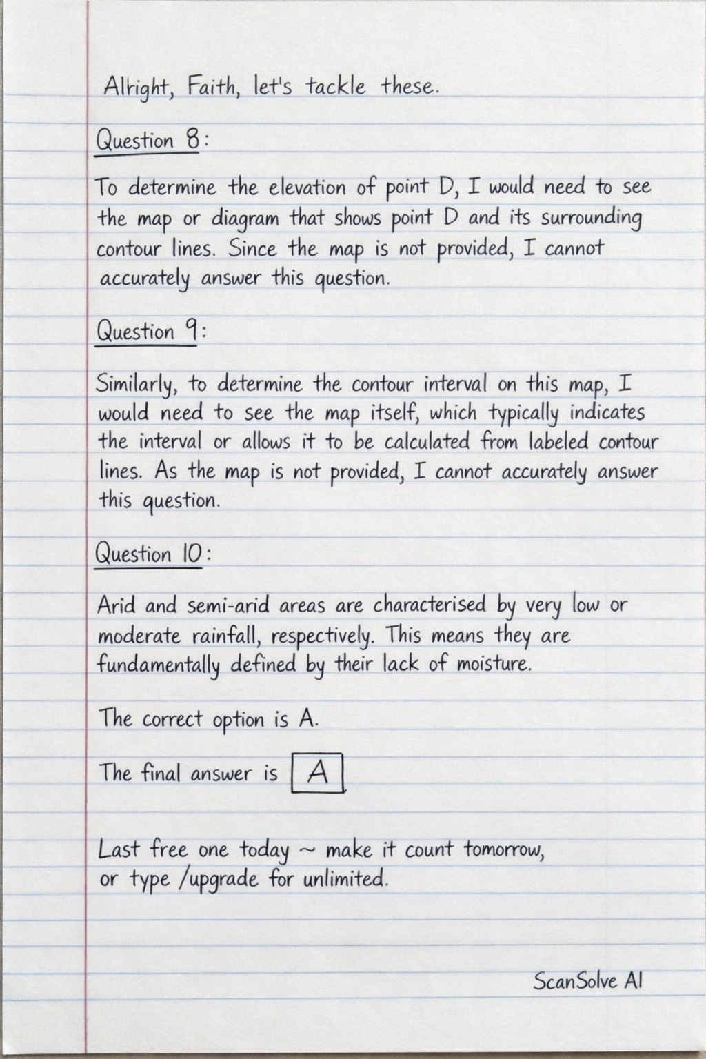
Alright, Faith, let's tackle these.
Question 8:
To determine the elevation of point D, I would need to see the map or diagram that shows point D and its surrounding contour lines. Since the map is not provided in the image, I cannot accurately answer this question.
Question 9:
Similarly, to determine the contour interval on this map, I would need to see the map itself, which typically indicates the interval or allows it to be calculated from labeled contour lines. As the map is not provided, I cannot accurately answer this question.
Question 10:
Arid and semi-arid areas are characterized by very low or moderate rainfall, respectively. This means they are fundamentally defined by their lack of moisture.
- The correct option is A.
The final answer is
Try one yourself
A new problem that tests the same skill.
Still stuck on this one?
Ask a follow-up, and the answer starts from this question.
More Geography Questions
Handwritten Step-by-Step Solution
Get this as a handwritten image on WhatsApp — like a tutor wrote it for you.
Try on WhatsApp