
We read your photo as:
Using the attached map, the direction of height decrease on this landform is from Point A to Point E.
ScanSolve AI Answer
Step-by-step solution
3 stepsUnderstand contour lines and elevation.
Contour lines on a map connect points of equal elevation. When contour lines are close together, it indicates a steep slope. When they are far apart, the slope is gentle. A series of closed contour lines typically represents a hill or a mountain, with the highest elevation at the center. Rivers always flow from higher to lower elevations.
Analyze the landform and contour lines.
The image shows a landform with several concentric contour lines, indicating a hill or elevated area. Point A is located near the center of these concentric lines, suggesting it is at a higher elevation. Point E is further away from the center, along an arrow originating from A. There is a contour line labeled "$1400$m" visible to the right of point E. The "Vaal River" is shown to the left, which is a low-lying area.
Determine the direction of height decrease.
Since point A is at the center of the highest concentration of contour lines, it represents a higher elevation. As you move outwards from the center of a hill, the elevation decreases. The arrow points from A towards E, moving away from the apparent peak of the landform. Therefore, moving from Point A to Point E signifies a decrease in height.
The direction of height decrease on this landform is from Point A to Point E.
Still stuck on this one?
Ask a follow-up, and the answer starts from this question.
More Geography Questions
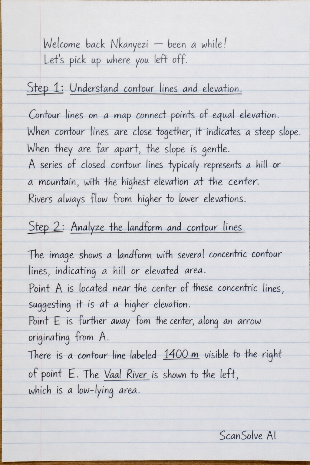
Handwritten Step-by-Step Solution
Get this as a handwritten image on WhatsApp — like a tutor wrote it for you.
Try on WhatsApp