
We read your photo as:
What are the three types of scale used in maps and plans, and provide examples for each?
Geography
ScanSolve AI Answer
Step 1: Identify the three types of scale from the given examples.
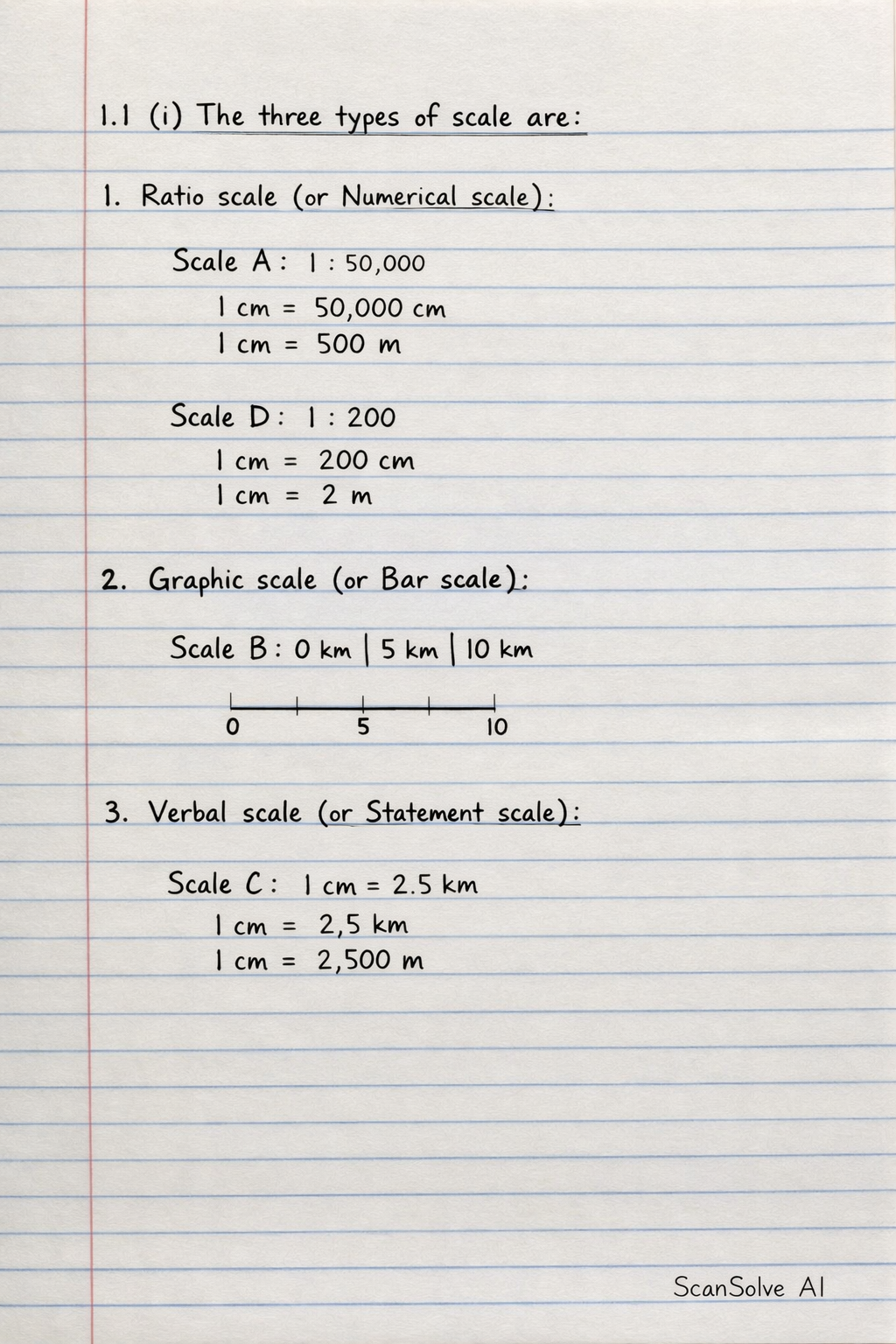
Based on the "Scale Representation" column in the table:
- Scale A (1 : 50 000) and Scale D (1 : 200) are examples of a ratio scale (or numerical scale/representative fraction).
- Scale B (a bar with segments representing 0, 5, 10 km) is an example of a graphic scale (or bar scale/linear scale).
- Scale C (1 cm = 2,5 km) is an example of a verbal scale (or statement scale).
The three types of scale used in maps and plans are:
- Ratio scale (or Numerical scale)
- Graphic scale (or Bar scale)
- Verbal scale (or Statement scale)
Was this helpful?
Still stuck on this one?
Ask a follow-up, and the answer starts from this question.
Got a different question?Ask your own question
More Geography Questions
QName three types of map scales.QName and. Discuss the three major type of scaleQWhat are the four primary scales of measurement, and what are examples of each?QDefine the following terms: Route map, North elevation map, Strip map, Bar scales, A 3-D model…QWhat are the two questions about map scales?
Handwritten Step-by-Step Solution
Get this as a handwritten image on WhatsApp — like a tutor wrote it for you.
Try on WhatsApp