
We read your photo as:
Using the provided map extract, identify the map scale type and calculate distances between specified locations in km and m.
ScanSolve AI Answer
Step-by-step solution
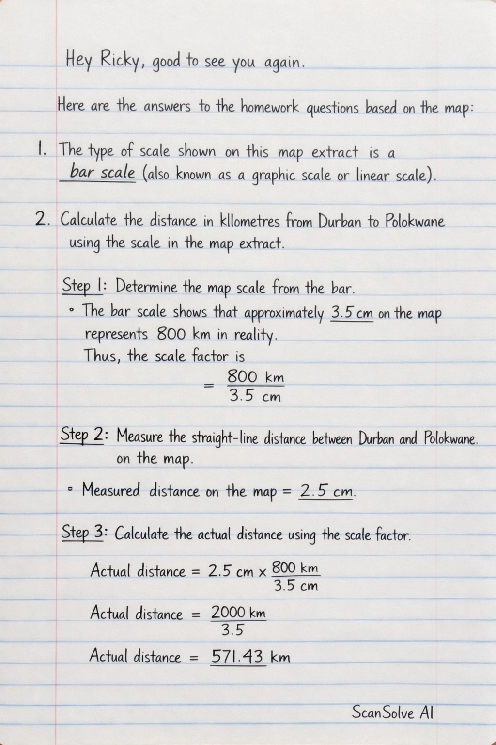
9 stepsHere are the answers to the homework questions based on the map:
1. Name the type of scale that is shown on this extract.
The type of scale shown on this map extract is a bar scale (also known as a graphic scale or linear scale).
2. Calculate the distance in kilometres from Durban to Polokwane using the scale in the map extract.
Determine the map scale from the bar.
* The bar scale shows that approximately $3.5 \text{ cm}$ on the map represents $800 \text{ km}$ in reality. * Thus, the scale factor is $\frac{800 \text{ km}}{3.5 \text{ cm}}$.Measure the straight-line distance between Durban and Polokwane on the map.
* The measured distance on the map is approximately $2.5 \text{ cm}$.Calculate the actual distance using the scale factor.
$$ \text{Actual distance} = 2.5 \text{ cm} \times \frac{800 \text{ km}}{3.5 \text{ cm}} $$ $$ \text{Actual distance} = \frac{2000}{3.5} \text{ km} \approx 571.43 \text{ km} $$ The distance from Durban to Polokwane is approximately $\boxed{\text{571.43 km}}$.3. Calculate the distance in metres from Karkloof to Johannesburg.
Measure the straight-line distance between Karkloof and Johannesburg on the map.
* The measured distance on the map is approximately $1.5 \text{ cm}$.Calculate the actual distance in kilometers.
$$ \text{Actual distance} = 1.5 \text{ cm} \times \frac{800 \text{ km}}{3.5 \text{ cm}} $$ $$ \text{Actual distance} = \frac{1200}{3.5} \text{ km} \approx 342.86 \text{ km} $$Convert the distance from kilometers to meters.
$$ \text{Actual distance in meters} = 342.86 \text{ km} \times 1000 \text{ m/km} = 342860 \text{ m} $$ The distance from Karkloof to Johannesburg is approximately $\boxed{\text{342860 m}}$.4. Calculate the distance in kilometres from Polokwane to Cape Town. Is this an example of a large-scale map or small-scale map?
Measure the straight-line distance between Polokwane and Cape Town on the map.
* The measured distance on the map is approximately $4.5 \text{ cm}$.Calculate the actual distance in kilometers.
$$ \text{Actual distance} = 4.5 \text{ cm} \times \frac{800 \text{ km}}{3.5 \text{ cm}} $$ $$ \text{Actual distance} = \frac{3600}{3.5} \text{ km} \approx 1028.57 \text{ km} $$ The distance from Polokwane to Cape Town is approximately $\boxed{\text{1028.57 km}}$.Determine the map scale type.
* This map covers a very large geographical area, encompassing multiple countries in Southern Africa. Maps that show large areas with less detail are classified as **small-scale maps**. Therefore, this is an example of a **small-scale map**.5. Is this an example of a large scale map or small scale map?
This map is an example of a small-scale map. It depicts a vast region (Southern Africa) and consequently shows less detail for specific locations.
Still stuck on this one?
Ask a follow-up, and the answer starts from this question.
More Geography Questions
Handwritten Step-by-Step Solution
Get this as a handwritten image on WhatsApp — like a tutor wrote it for you.
Try on WhatsApp