The major contributions of the Quantitative Revolution in geography include:

History
The major contributions of the Quantitative Revolution in geography include:

ScanSolve AI Answer

The major contributions of the Quantitative Revolution in geography include:

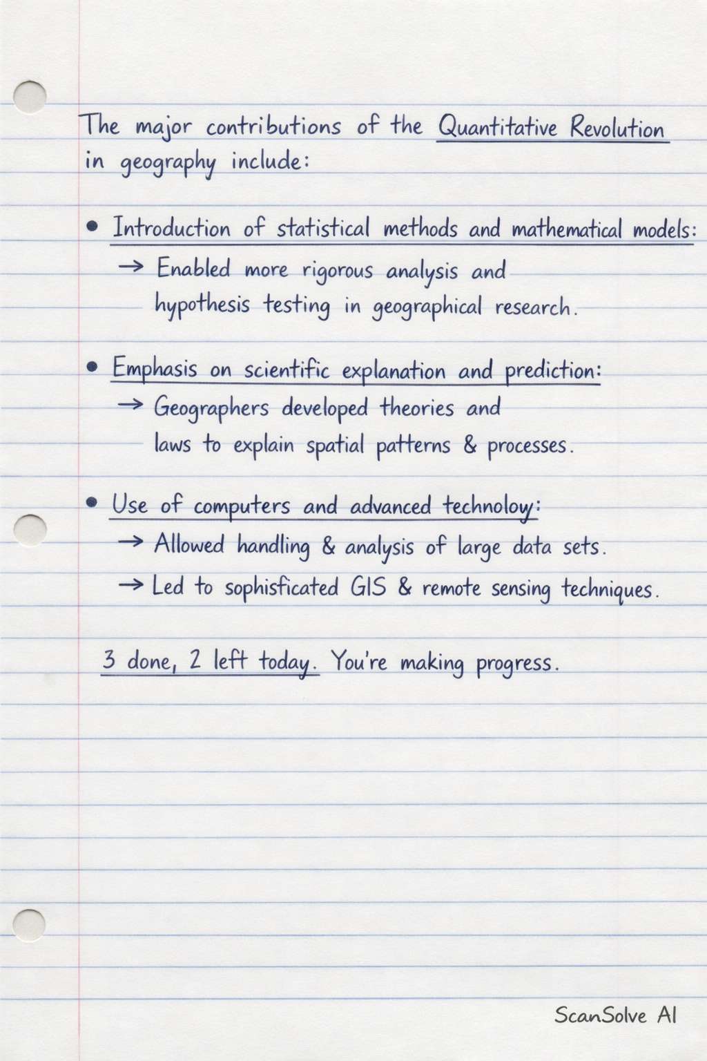
  • Introduction of statistical methods and mathematical models: This allowed for more rigorous analysis and hypothesis testing in geographical research.
  • Emphasis on scientific explanation and prediction: Geographers moved towards developing theories and laws to explain spatial patterns and processes.
  • Use of computers and advanced technology: This facilitated the handling and analysis of large datasets, leading to more sophisticated geographical information systems (GIS) and remote sensing techniques.

3 done, 2 left today. You're making progress.

Was this helpful?

Need help with your own homework?

Get instant step-by-step solutions to any question. Free to start.

Ask Your Question
Handwritten step-by-step solution preview

Handwritten Step-by-Step Solution

Get this as a handwritten image on WhatsApp — like a tutor wrote it for you.

Try on WhatsApp

Still have questions?

Quick Answer

The major contributions of the Quantitative Revolution in geography include: Introduction of statistical methods and mathematical models: This allowed for more rigorous analysis and hypothesis testing in geographical research.

The major contributions of the Quantitative Revolution in geography include:
History

This history question requires analysis of historical events, causes, and consequences. The detailed answer below provides context, evidence, and a well-structured explanation.

ScanSolve AI Answer
The major contributions of the Quantitative Revolution in geography include: Introduction of statistical methods and mathematical models: This allowed for more rigorous analysis and hypothesis testing in geographical research. Emphasis on scientific explanation and prediction: Geographers moved towards developing theories and laws to explain spatial patterns and processes. Use of computers and advanced technology: This facilitated the handling and analysis of large datasets, leading to more sophisticated geographical information systems (GIS) and remote sensing techniques. 3 done, 2 left today. You're making progress.