
We read your photo as:
Explain the meaning of the following terms as used in Mathematical Literacy: Route map, North elevation map, Strip map, Bar scales.
ScanSolve AI Answer
It looks like the map mentioned in the instructions is missing from the image you sent. I can answer the conceptual questions, but I won't be able to complete the parts that require referring to a map (questions 1.2, 1.3, 1.4, 1.5, 2, and 3).
Here are the answers to the questions I can address:
1.1 Explain the meaning of the following terms as used in Mathematical Literacy.
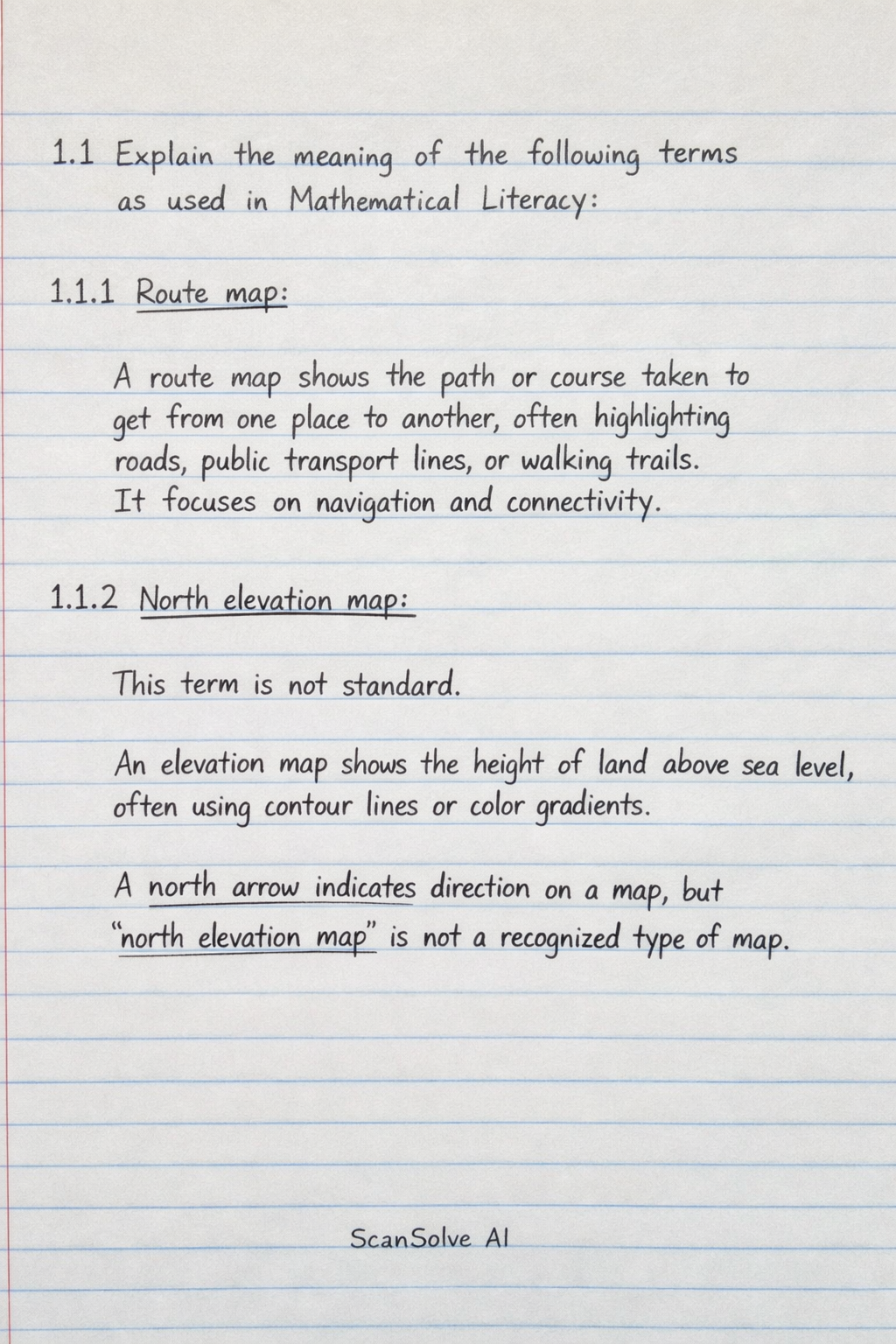
- 1.1.1 Route map: A route map shows the path or course taken to get from one place to another, often highlighting roads, public transport lines, or walking trails. It focuses on navigation and connectivity.
- 1.1.2 North elevation map: This term is not standard. An elevation map shows the height of land above sea level, often using contour lines or color gradients. A north arrow indicates direction on a map, but "north elevation map" is not a recognized type of map.
- 1.1.3 Strip map: A strip map is a long, narrow map that shows a specific route, such as a road or river, over a considerable distance. It typically focuses on the features immediately adjacent to the route, often without showing much surrounding area.
- 1.1.4 Bar scales: Bar scales, also known as graphic scales, are visual representations on a map that show the relationship between a distance on the map and the corresponding actual distance on the ground. They look like a ruler or a line marked with distances.
- 1.1.5 A 3-D model: A 3-D model is a three-dimensional representation of an object or area, providing depth, width, and height. It can be a physical model or a digital rendering that allows for viewing from multiple angles.
4.1 Explain how scale is important in everyday contexts.
Scale is crucial in everyday contexts because it allows us to represent large real-world objects or distances in a smaller, manageable format, such as on a map or a blueprint, while maintaining accurate proportions. This enables planning, navigation, and understanding spatial relationships without needing to interact with the full-sized object or distance.
4.2 Provide two examples where scale can be applied in real life.
- Architecture and construction: Architects use scale drawings (blueprints) to design buildings, showing the relative sizes of rooms, walls, and features before construction begins.
- Map reading and navigation: People use maps with a specific scale to determine distances between locations and plan routes for travel, whether driving, walking, or flying.
Still stuck on this one?
Ask a follow-up, and the answer starts from this question.
More Mathematics Questions
Handwritten Step-by-Step Solution
Get this as a handwritten image on WhatsApp — like a tutor wrote it for you.
Try on WhatsApp