
We read your photo as:
Sturdy the street map of the Berea/Musgrave area in Durban provided in Annexure A and answer the questions that follow: 2.1 Name the specific campus located at the intersection of centenary Road and Mansfield Road 2.2 A student at the D.U.T (M.L.Sultan campus) need to walk to the municipal sports ground for a match a) in which general compass direction must the student walk from the campus to reach the sports ground? b) Identify one landmark the student will pass on their right-hand side if they walk North - West along centenary Road 2.3 The map In annexure A uses a number scale of 1:15 000 A leaner measures the straight line distance on the map between the DUT(M.L. sultan campus) and the Botanical gardens as 5,2cm. Calculate the actual distance in metres kilometres
Mathematics
ScanSolve AI Answer
Step-by-step solution
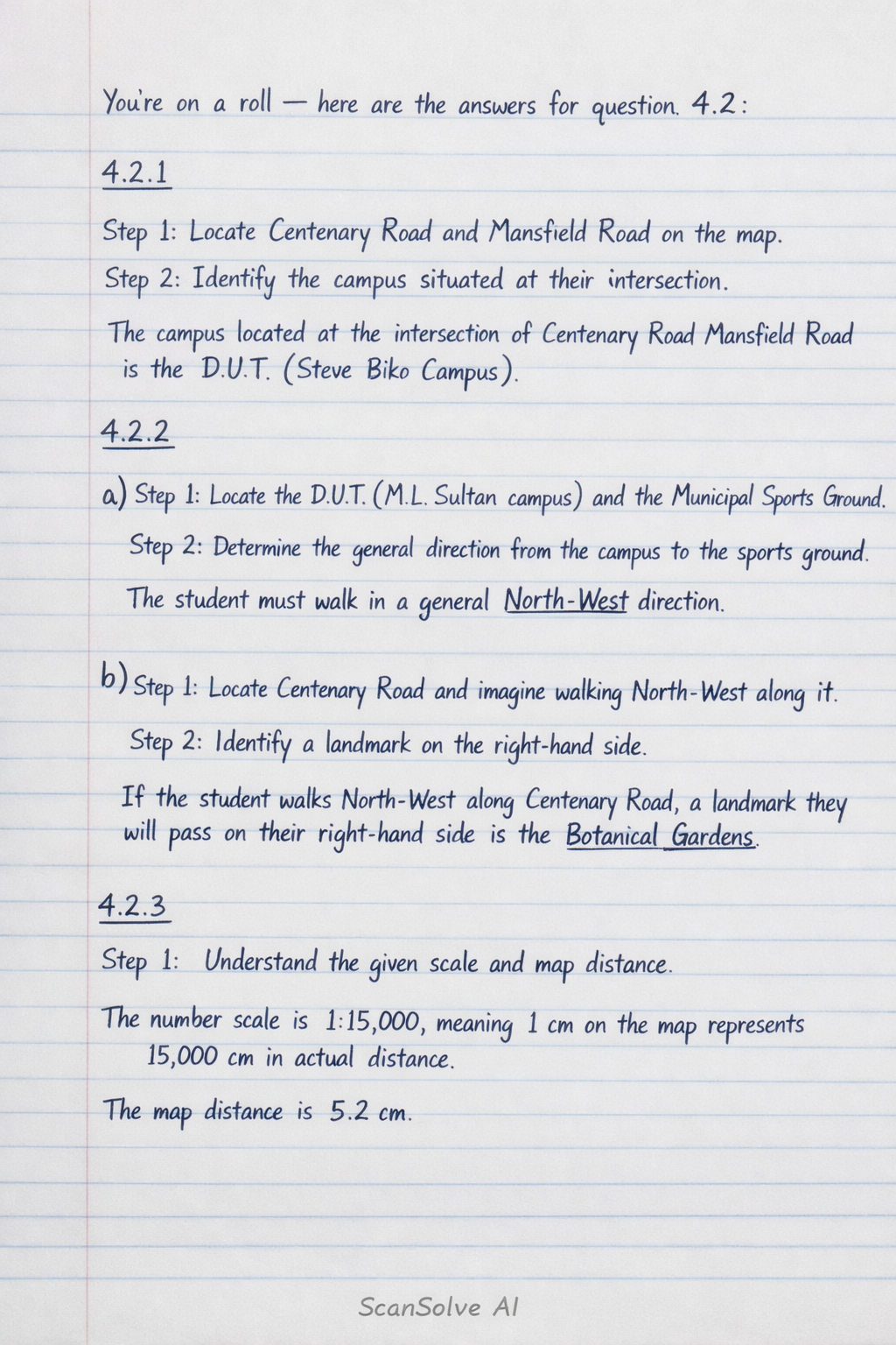
10 stepshere are the answers for question 4.2:
4.2.1
Locate Centenary Road and Mansfield Road on the map.
Identify the campus situated at their intersection.
The campus located at the intersection of Centenary Road and Mansfield Road is the D.U.T. (Steve Biko Campus).
4.2.2
a)
Locate the D.U.T (M.L.
Sultan campus) and the Municipal Sports Ground.
Determine the general direction from the campus to the sports ground.
The student must walk in a general North-West direction.
b)
Locate Centenary Road and imagine walking North-West along it.
Identify a landmark on the right-hand side.
If the student walks North-West along Centenary Road, a landmark they will pass on their right-hand side is the Botanical Gardens.
4.2.3
Understand the given scale and map distance.
The number scale is , meaning on the map represents in actual distance.
The map distance is .Calculate the actual distance in centimeters.
Convert the actual distance from centimeters to meters.
Since :
Convert the actual distance from meters to kilometers.
Since :
The actual distance is or .
Was this helpful?
Still stuck on this one?
Ask a follow-up, and the answer starts from this question.
Got a different question?Ask your own question
More Mathematics Questions
QBased on Annexure A (a map of Durban), identify the map type, a nature reserve, three road types…QUsing the provided map, answer the following questions: 1.1 Identify the primary national road used…QBased on the provided map and text, answer the following questions: 1.1. What is the general…QA Durban stadium seating plan is provided. (1) Determine the ratio of seats on the South side to the…QANNEXURE B represents a South African map. Answer the questions below based on the annexure.
Handwritten Step-by-Step Solution
Get this as a handwritten image on WhatsApp — like a tutor wrote it for you.
Try on WhatsApp