
We read your photo as:
What is the distance by railway to Frere from the boundary of the mapped area?
ScanSolve AI Answer
Answer
Step-by-step solution
2 stepsTo solve these map skills questions, a topographical map and an orthophoto map are required. Since these maps are not provided, I will explain how each question would be solved and provide the answer for the question that can be calculated with the given information.
3.1.1 What is the distance by railway to Frere from the boundary of the mapped area?
To answer this question, you would need to:
- Locate Frere and the boundary of the mapped area on the topographical map.
- Identify the railway line connecting these two points.
- Measure the length of the railway line on the map using a ruler or opisometer.
- Use the map scale (provided on the map) to convert the measured map distance into the actual ground distance. Since the topographical map is not provided, the distance cannot be determined.
3.1.2 Which illustration below represents the map index for the topographical map of Estcourt?
A map index shows how a specific map sheet relates to its surrounding map sheets in a series. To correctly identify the map index for Estcourt, you would need to know the specific map sheet number or name for Estcourt and its position within the larger map series. Without this information or the actual map, it is not possible to select the correct illustration.
3.1.3 Calculate the length of the Wagendrift Dam wall at F in block C3 in metres (m). Formula: Actual distance = Map distance x Map scale.
To calculate the actual length of the dam wall:
- Locate the Wagendrift Dam wall at point F in block C3 on the topographical map.
- Measure the length of the dam wall on the map (Map distance) using a ruler.
- Identify the map scale (e.g., 1:50,000) from the map.
- Apply the given formula: Actual distance = Map distance Map scale. Since the topographical map is not provided, this calculation cannot be performed.
3.1.4 Calculate the magnetic declination for 2025 using the following information: Difference in years: 24 years, Mean annual change: 9' W.
Calculate the total change in magnetic declination over the given period.
The mean annual change is West, and the difference in years is 24 years.
Convert the total change from minutes to degrees and minutes.
There are 60 minutes in 1 degree.
The total change in magnetic declination over 24 years is W.
To calculate the absolute magnetic declination for 2025, an initial magnetic declination value (e.g., from a specific base year on the map) would be required. Since this initial value is not provided, we can only calculate the change in declination.
The change in magnetic declination is .3.1.5 Draw a rough cross-section from 6 in block A4 to 7 in block B5.
To draw a cross-section, you would need to:- Locate points 6 (in block A4) and 7 (in block B5) on the topographical map.
- Draw a straight line connecting these two points.
- Identify all contour lines that intersect this drawn line and note their elevation values.
- Transfer these contour line intersections and their corresponding elevations to a graph, plotting distance against elevation, to create the cross-section profile. Since the topographical map is not provided, this cannot be done.
3.1.6 Why is there no intervisibility between 6 and 7?
Without the topographical map and the cross-section from 3.1.5, the specific reason for no intervisibility between points 6 and 7 cannot be determined. However, generally, a lack of intervisibility between two points on a topographical map indicates that there is higher ground (an obstruction), such as a hill or ridge, located between them, which blocks the line of sight.
Try one yourself
A new problem that tests the same skill.
Still stuck on this one?
Ask a follow-up, and the answer starts from this question.
More Geography Questions
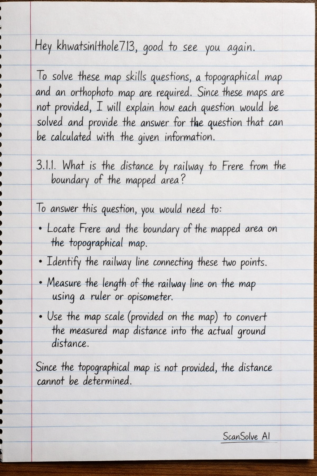
Handwritten Step-by-Step Solution
Get this as a handwritten image on WhatsApp — like a tutor wrote it for you.
Try on WhatsApp